Grain Bocager : les données accessibles en téléchargement
8 janvier 2026
Grain Bocager : les données accessibles en téléchargement
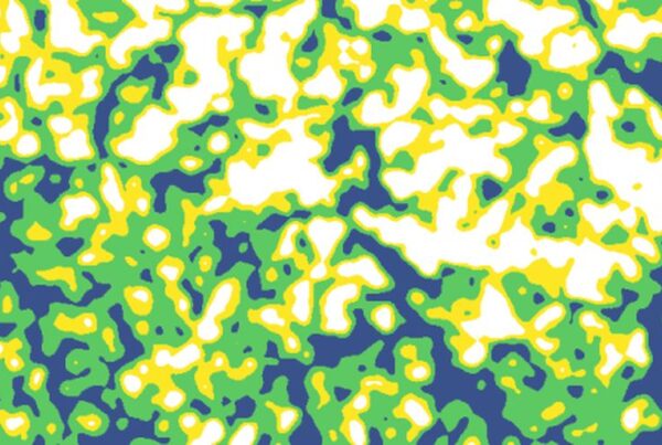
Le produit Grain Bocager est un ensemble de couches nationales de référence pour la gestion…